
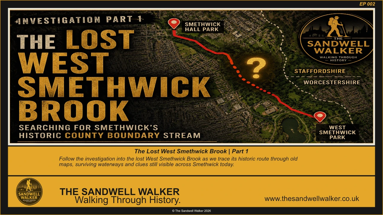
For generations, a forgotten stream quietly flowed through the heart of West Smethwick, forming part of the historic boundary between Staffordshire and Worcestershire. Today, much of this once-important watercourse has disappeared beneath roads, parks, housing and industry—but traces of it still survive for those who know where to look.
In this episode of The Sandwell Walker, I begin an investigation into one of Smethwick’s most overlooked pieces of history: the Lost County Boundary Stream.
Using historic Ordnance Survey maps, archive research and on-location exploration, we trace the surviving sections of the stream through West Smethwick Park, follow its route beyond the boating lake, and uncover evidence that much of the original watercourse still exists beneath the modern landscape.
The investigation explores how this natural stream shaped the development of the surrounding area long before Victorian expansion transformed Smethwick. Once flowing through open fields and farmland, the stream later became surrounded by railways, factories, housing estates and public parks, eventually disappearing beneath the growing town.
During the walk, we examine surviving open sections of the watercourse, investigate the historic county boundary, compare nineteenth-century mapping with the modern landscape, and begin piecing together the story of how this forgotten stream gradually vanished from public view.
This is the first stage of an ongoing historical investigation. As new maps, photographs and archive material come to light, the route of the stream will continue to be refined and documented, helping preserve an important part of Sandwell’s natural and industrial heritage for future generations.
If you have memories, photographs or local knowledge relating to this stream, West Smethwick Park, or the surrounding area, I’d love to hear from you. Your information could help fill in another piece of the puzzle.
Episode Highlights
- Investigation into the Lost County Boundary Stream
- Historic boundary between Staffordshire and Worcestershire
- West Smethwick Park and the boating lake
- Surviving sections of the hidden watercourse
- Historic Ordnance Survey map analysis
- On-location exploration
- Early findings from the ongoing research project
Research Status
This investigation remains active and is continually being updated as new historical evidence becomes available. Future research will include historic maps, engineering records, archive documents, aerial photography and field surveys to reconstruct the complete route of the stream from its source to its confluence with the River Tame.
Series: Sandwell Heritage Investigations
Location: West Smethwick, Sandwell, West Midlands
Period Covered: Pre-industrial landscape to the present day